After importing your images an terrain data as well as creating civil objects we can start setting up our layout boundaries.
This is how to:
- Draw a layout boundary manually or by converting a polyline into a boundary
- In the "Layout Boundary" section you will find the different options:

-
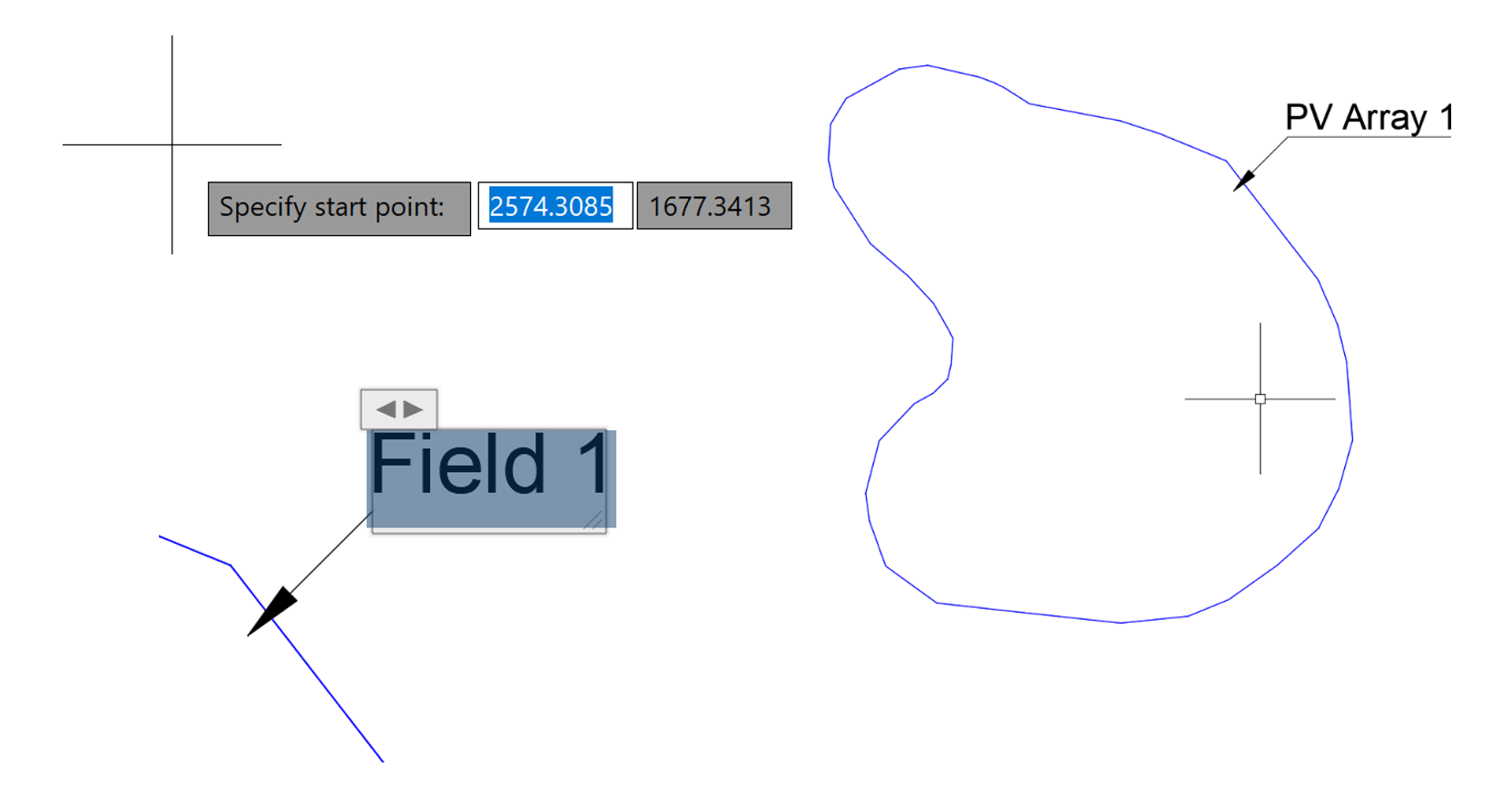
If you want to draw a new layout boundary then select “create new”.
-
Specify the starting point and add more points until the desired boundary shape has been reached.
-
Press enter to finalize and a leader will pop up with the boundary name. You can still move or rename this leader to your preference.
-
If you select the “convert polyline” option it will ask you to choose the polyline you want to convert into a layout boundary. Simply select the desired polyline and the blue boundary line and leader will be created.
